Information :
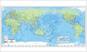
Airport of the world, is a map of the spread of airports around the world, in every country is represented by the international and domestic airports.
The map scale 1: 23,520,000 (1: 127Nm) and the size of paper 173 x 83 cm. (69 x 33 in)
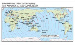
Information obtained: Position airport on location. Time zone, distance within a radius of CKG, Cengkareng, Indonesia.
This map is ideal for planning an international flight |