-Edisi-08-2017.jpg) |
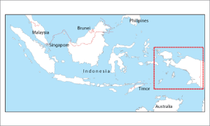 |
Coverage :
Papua, Indonesia. |
|
Information :
With the increasing aviation traffic in the Papua area, which has a geographical and climatologist characteristics that could endanger the safety of flight, and then to support aviation safety and flight operations, it is necessary to establish route VFR flight paths from and to the airport as follows :
Details VFR Route Segment in Papua areas and chart relating to the segment are depicted on the attachment “A1” to “A12” and attachment “B”.
To use VFR routes are necessary to comply with requirements as follows:
- The aircraft must be equipped with a GPS TSO 129, 145 and 146
- Flight crew training about flying on that particular route |
|
Aeronautical :
- Controlled and Non Controlled Airport
- Radio Navigation Aids
- Airspace and Special Airspace
- Low Altitude Route |
Topograpichal :
-SRTM (Shuttle Radar Topography Mission) NASA
-DCW (Digital Chart of the Word) NASA
-RBI (Rupa Bumi Indonesia) BIG
-Basic background political map is from DCW |
Doc. Reference :
VFR Route (AIP Supplement 06, 2011) |
Remarks :
Scale 1 : 6.6 Nm
Effective Date : 02, February 2017
Paper size : 103.5 x 85 Cm |
|